
Renovating Liverpool’s Waterfront has been an ongoing process for over 20 years, with the most recent development activity being undertaken by Peel Holdings in the form of “Liverpool Waters”.
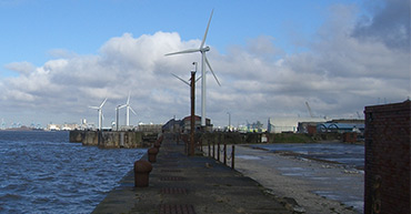
Peel Holdings have concentrated their efforts north of the 3 graces, looking to develop the 60 hectares in and around the Central Docks area that includes Princes Dock to the south and Bramley Moore Dock to the North.
With that in mind, Peel’s client, Curtins Consulting contacted us, to assist with converting, documenting and presenting a large array of historic microfiche slides detailing what the Liverpool docks area (above and below ground) looked like dating from as early as 1875, right through to the late 1960s.
We were provided with boxes of microfiche aperture cards from the Mersey Docks & Harbour Company archive which were then converted to a digital format via high resolution aperture scanning. From there we digitally scaled, orientated and located each relevant digital file over ordnance survey data, and provided an interactive presentation of what the docks areas used to look like in comparison to what it looks like in modern times.
This presentation was used as a development tool to highlight areas where underground structures and features were located so that engineers, construction managers and building developers could analyse the microfiche slides, highlighting areas for potential development and identifying potential issues.
Although this isn’t a service that is requested on a regular basis, we are always open to becoming involved in new projects and applying our skills as a team to provide a client focussed solution.
Client: Curtins Consulting
Location: Central & Northern Docks, Liverpool
Service: Interactive Geo-Referenced Presentation