
Mobile Mapping
Mobile mapping is the process of collating geospatial data from a mobile vehicle, typically fitted with a range of photographic, radar, laser, LidDAR or any number of remote sensing systems. The primary output from mobile mapping systems are commonly GIS Data, georeferenced images and digital maps.
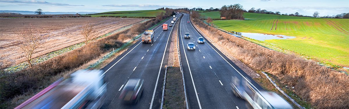
More specific forms of Mobile Mapping include road mapping and highway facility management, a combination of GPS and digital camera systems allowing us to rapidly update road maps and efficiently survey road condition. Our 3D Laser Scanning technologies can also be applied to mobile mapping, collecting full 3D data of slopes and embankments beside the road.
Another application of Mobile Mapping, particularly in areas that are somewhat inaccessible is to utilise geo-referencing, UAV Aerial Surveys or ground proofing radar, assessing specific areas from above.
If you require further information regarding this service, or if you would like to request a quote please don't hesitate to contact us.
Related Services
