
UAV Aerial Surveys & Aerial Inspections
UAV Aerial Surveys
Formby Surveys provide aerial surveys and aerial photogrammetry services to collect topographical data and high quality imagery. Using fixed-wing drone technology equipped with a DSLR Sony Nex7 24 megapixel camera, we carry our aerial surveys for the mapping of large areas of land and to produce high quality aerial photography of land, property and infrastructure. We only employ the services of drone pilots who are professionally trained, experienced surveyors and CAA licensed to operate drones in the UK. Applications for aerial surveys include:
- Land & mineral surveys
- Onshore windfarms
- Roads & waterways
- Contaminated & flooded land monitoring
- Urban planning
Aerial Inspections
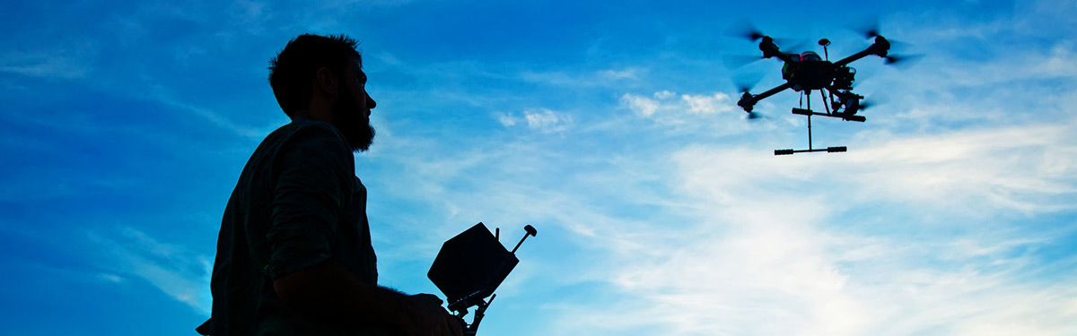
Using multi-rotor drone technology, we provide a fast, safe and cost-effective service for the inspection of live assets. Our drones are fitted with the DSLR Sony Nex7 24 megapixel camera to capture high resolution digital photography, high definition video and thermal imagery. We only employ the services of drone pilots who are professionally trained, experienced surveyors and CAA licensed to operate drones in the UK. Applications for aerial inspections include:
- Bridges
- Large commercial buildings
- Industrial plants
- Onshore & offshore windfarms
- Power stations
- Chimneys
- Pylons
- Filming production & promotional videos
Our UAV Aerial Surveys and Aerial Inspections are often utilised by Architects, Structural Engineers and Construction Companies who require topographical data or the inspection of live assets.
If you require further information regarding these services, or if you would like to request a quote please don't hesitate to contact us.
Related Services
