Subsurface Laser & Void Scanning
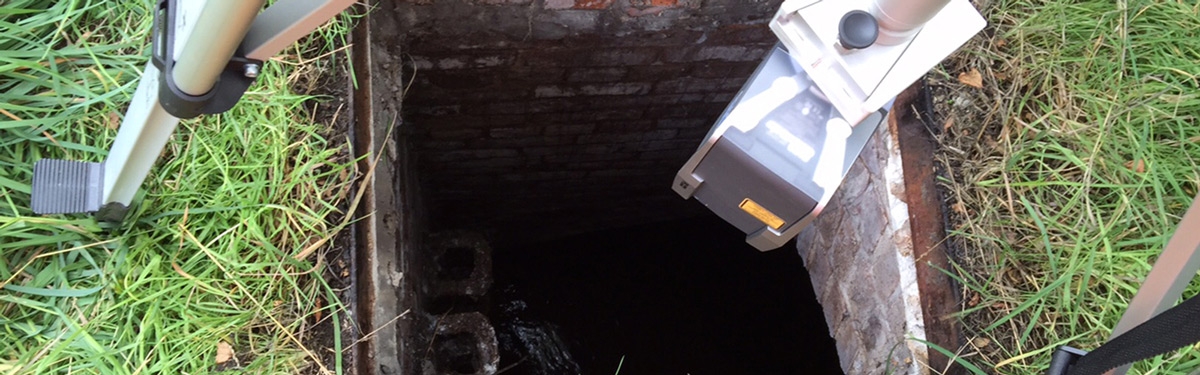
Formby Surveys can provide you with accurate survey data to determine the size, depth, shape and location of subsurface voids, cavities and shafts.
We have the experience and expertise to carry out down borehole surveys and inverted laser scan surveys of both dry cavities and submerged cavities. Dry cavity surveys are carried out using the C-ALS system, Leica HDS 6200 and the Faro Focus 3D Laser Scanner. To measure submerged cavities we deploy sonar systems.
From the survey data, we can provide a range of deliverables including 2D and 3D geo-referenced CAD, 3D point clouds and 3D models. Application for subsurface laser scanning include:
- Dry cavities
- Deep manholes
- Mapping of karst shafts
- Mapping of utility chambers
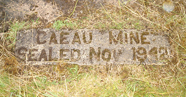
- Mapping of abandoned mine workings
- Tunnel and shaft as-built surveys
- Submerged cavities
Our Subsurface Laser Scanning services are often utilised by Structural Engineers, Civil Engineers and Construction companies who require specific information about sub surface elements prior to building on ground level.
If require further information regarding this service, or if you would like to request a quote please don't hesitate to contact us.