Terrain Modelling & Volumetrics
Terrain Modelling
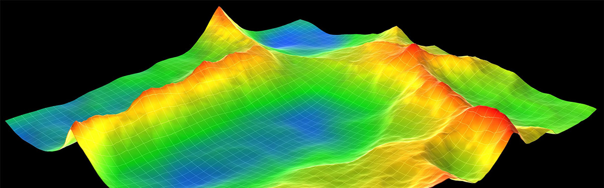
All our topographical surveys are undertaken in 3D to allow full contouring and terrain modelling. The validity of the resultant survey model is vital and is maintained through good survey practice, coupled with complex modelling software. From this data, surfaces can be modelled and represented using colour banding and provided as full 3D outputs, to provide a range of solutions from site plans for master planning, to contour models and visualisations for planning application purposes.
Volumetrics
Simple and complex volumes can be calculated with reference to a datum or by comparing different survey models allowing comprehensive reports to be produced analysing cut/fill scenarios and quantities. In addition, sectional data can be generated simultaneously from the model to represent the calculations in a more traditional way, providing accurate reliable volumes of materials for analysis or costing purposes.
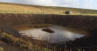
Our Terrain Modelling and Volumetrics services are often utilised by Structural Engineers, Civil Engineers and Construction companies who require specific details about a specific segment of land in order to build.
If you require further information regarding these services, or if you would like to request a quote please don't hesitate to contact us.